Drone Photogrammetry
Get a Bird's-Eye View,
Make Informed Decisions
Utilizing drone photogrammetry, we capture high-resolution photos, orthomosaic maps, and 3D models of properties, construction sites, agricultural areas, and solar installations. This technology enables us to provide accurate assessments, surveys, and inspections, helping our clients make informed decisions.

Starke Security Group’s pilots are FAA certified and equipped with an Autel Evo II Dual 640T, providing up to 4K video, 8K photos, RTK capabilities, and a 640x512 thermal imaging sensor allowing for night operations.

We Provide Drone Services For:
-
![]()
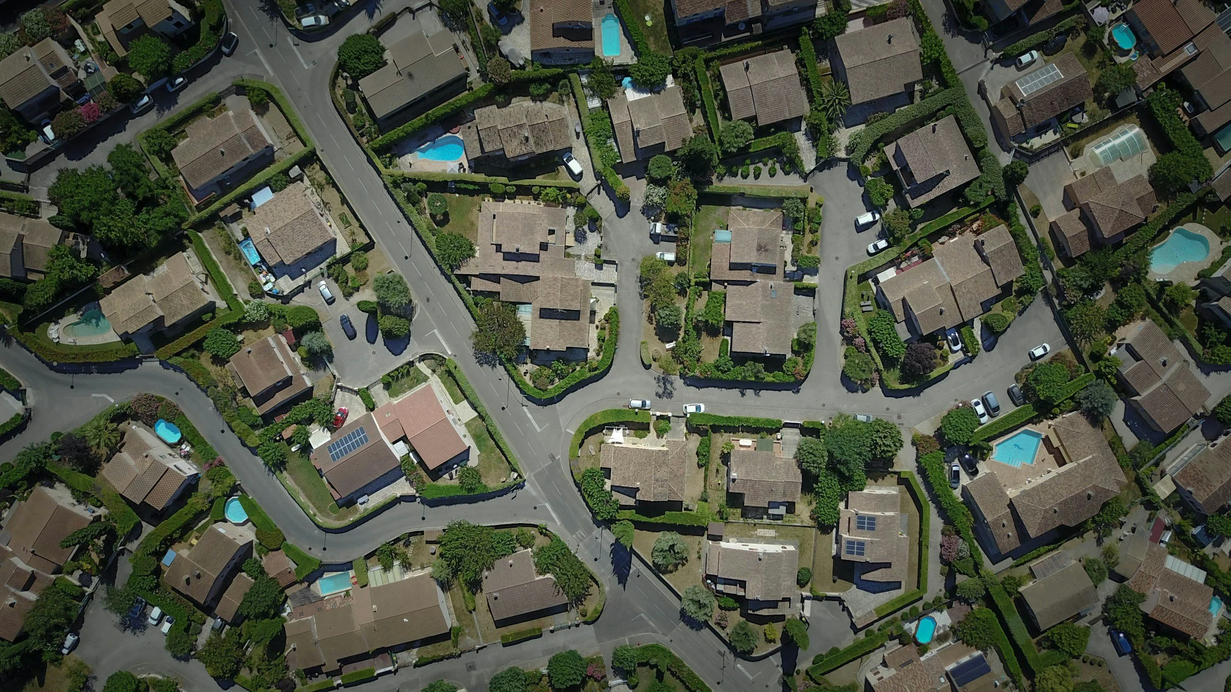
Real Estate
Drone services provide stunning aerial photography and videography, offering potential buyers a unique perspective of properties. This helps real estate agents showcase properties more effectively, giving clients a comprehensive view of the surroundings and architectural features.
-
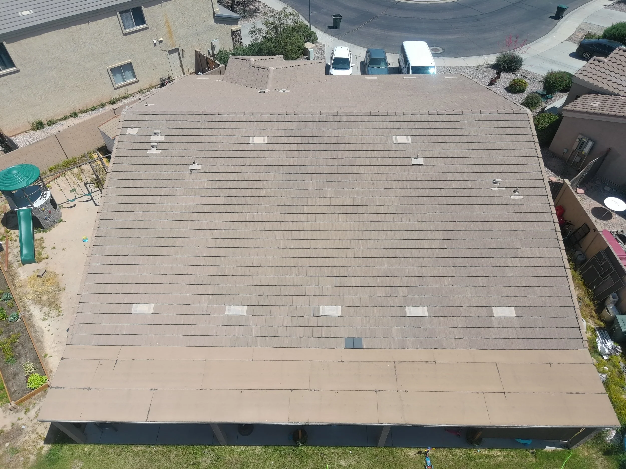
![Roof being inspected.]()
Roof Inspection
Utilizing drones equipped with high-definition cameras, roof inspections become safer, faster, and more accurate. Drones can access difficult-to-reach areas, capturing detailed imagery for roof condition assessments, identifying damage, and aiding in insurance claims processes.


Why Partner With Us
-
At Starke Security Group, our team of experts has years of experience in security operations, threat detection, and incident response. We've worked with numerous organizations to develop tailored security strategies that meet their unique needs.
-
We don't believe in a one-size-fits-all approach to security. Instead, we work closely with each organization to understand their specific challenges and develop a customized solution that meets their needs and goals.
-
Our team has a proven track record of helping organizations achieve meaningful security outcomes. For example, we worked with XYZ Corporation to develop a comprehensive incident response plan that reduced their average response time by 75%.
-
At Starke Security Group, we believe that effective security requires collaboration between our team and your organization. We take the time to understand your unique needs and challenges, and work closely with you to develop a customized solution that meets those needs.
-
We're committed to staying ahead of emerging cyber risks by investing in industry-leading tools and technologies.
-
Our services don't stop at implementation – we also provide ongoing support to ensure that your security posture remains strong over time. Our dedicated team is always available to answer questions, address concerns, and make recommendations for continuous improvement.